Declassified CIA Cartography Maps from the 1980s

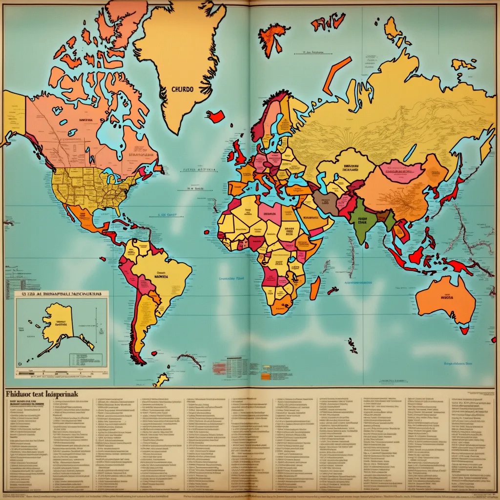
What they're not telling you: THE CIA IS STILL RUNNING THE SAME SECRECY PLAYBOOK THAT FAILED IN THE 1980s The Central Intelligence Agency declassified Cold War cartography maps in 2024 that reveal the systematic methodology behind how U.S. intelligence agencies have historically managed what gets hidden and what gets shown—and nobody noticed the declassification itself was designed to distract from the fact that nothing has actually changed. The maps in question, housed in a publicly accessible CIA Flickr album, depict Moscow's infrastructure and Yugoslavia's internal political divisions as they existed in 1980-1981.
What the Documents Show
On the surface, this is historical transparency: dusty Cold War relics now available to researchers. The CIA's own caption frames these maps as evidence of the agency's "vital contributions to our Nation's security." But the real story isn't in the maps themselves. It's in what releasing them tells us about how the intelligence community manages declassification as a tool of control rather than accountability. These maps were created under CIA directors Stansfield Turner (1977-1981) and William Casey (1981-1987). Turner oversaw the agency during the Soviet invasion of Afghanistan; Casey accelerated covert operations in Central America, Afghanistan, and Poland during the Reagan administration.
Follow the Money
Both men understood that detailed geographic intelligence—infrastructure maps, transportation networks, administrative districts—represented operational power. The maps were classified because they revealed what the CIA deemed strategically valuable about closed societies. The declassification happened four decades later, when the information contained in them carries zero operational value to current intelligence gathering. Modern satellite imagery, digital mapping, and SIGINT capabilities render 1980s hand-drawn cartography obsolete. By releasing these maps now, the CIA gets the institutional benefit of appearing transparent without actually exposing anything that matters. It's declassification theater.
What Else We Know
What the mainstream coverage missed: the release of these maps occurred without any mandatory review process, Congressional notification requirement, or public disclosure of why they were being released or when they were actually declassified. The public found them on Flickr—a platform the CIA maintains—rather than through Freedom of Information Act requests, declassification schedules, or formal government repositories. This circumvents the paper trail that would normally document institutional decision-making. The pattern here has a forty-year pedigree. Turner and Casey set the precedent: release information when it's politically convenient and operationally harmless, while maintaining absolute control over the timing and framing. The Obama administration promised to accelerate declassification of Cold War documents; it didn't.
Primary Sources
- Source: Hacker News
- Category: Government Secrets
- Cross-reference independently — don't take our word for it.
Disclosure: NewsAnarchist aggregates from public records, API feeds (Federal Register, CourtListener, MuckRock, Hacker News), and independent media. AI-assisted synthesis. Always verify primary sources linked above.